Scenic Mountain Drives
The Southwest
The Enchanted Circle Scenic Byway, Northern New Mexico
Start in the town of Taos, a former artist colony known for its art galleries and museums. Don’t miss touring the Taos Pueblo where you can learn about the culture and traditions of the native Red Willow People who have inhabited the pueblo for over 1,000 years.
To begin your scenic drive through 85 miles of national forest, mountains, mesas, and New Mexican resort communities, head north on NM 522. You will pass by the Sangre de Cristo Mountains, including Wheeler Peak, New Mexico’s highest mountain. Then drive through the town of Questa and descend into the Red River, which offers views of aspens and pines. To return to Taos, you will pass by Eagle Nest Lake State Park where you can fish trout or Kokanee salmon.
Flagstaff to Sedona via Highway 89A, Arizona
One of the most striking canyon drives in America, Highway 89A takes you from Flagstaff to Sedona through Oak Creek Canyon. The canyon is known for its colorful high, narrow cliffs and dramatic rock formations, providing ample fodder for photography enthusiasts.
Stop along the way at Slide Rock State Park, a former homestead and apple farm, where the natural red rocks of Sedona create a 30-foot water slide into Oak Creek.
The Ozarks
Pig Trail Scenic Byway, Arkansas
The Pig Trail, 19 miles of State Hwy 23 that passes through Ozark National Forest in the Boston Mountains, is named for its popularity as a route for University of Arkansas Razorbacks fans traveling to Fayetteville for football games. This scenic byway includes mountain vistas, rivers, waterfalls, wildflowers, and fall foliage.
Stop at the Turner Bend, open since 1911, for a snack or to camp along the Mulberry River. The river also offers canoeing and whitewater rafting, but can get crowded during peak season.
Blue Buck Knob Scenic Byway, Missouri
The Blue Buck Knob Scenic Byway winds through 24 miles of the Mark Twain National Forest, offering breathtaking views of autumn foliage in the fall. This scenic drive includes dense woodlands, open pastures, and farmland through Missouri’s Ozark hill country. At Noblett Lake Recreation Area you can camp and go horseback riding and hiking.
The Sierra Nevada
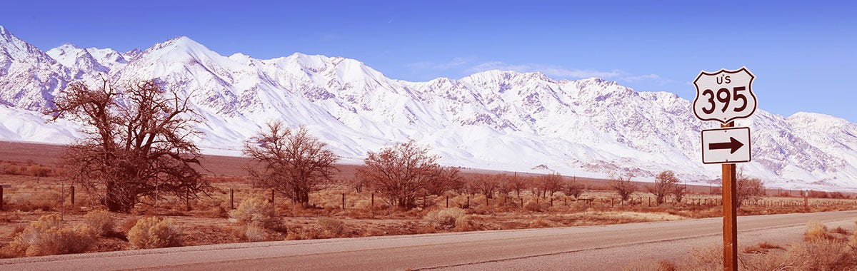
Highway 395, California
Start your Highway 395 road trip in Tahoe, which offers skiing in the winter and boating, hiking, and biking in the summer. Lake Tahoe, the largest alpine lake in North America, is known for its pristine blue waters because it is situated too high for algae to form. Head from Tahoe to the Mammoth Lakes, but stop on the way at Mono Lake so you can see its tall limestone formations called tufa.
Also Read: The Best Road Trips Across the U.S. with Maps Included
The Tioga Road, Yosemite National Park, California
The Tioga Road, or Highway 120, runs through the high Sierra Nevada of Yosemite National Park. It is only open May - October (weather permitting), so be sure to visit in the summer or early fall.
Stop at Olmsted Point to watch hikers climb the famous Half Dome across the valley and then hike just 0.2 miles to see amazing views of Tenaya Peak, Tenaya Lake, and Mount Conness. Next stop at Tenaya Lake, the largest alpine lake in Yosemite. Here you can fish, canoe, kayak, or hike one of the many trails.